Platforms: TERRA
From
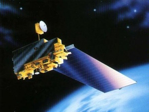
NASA launched the Earth Observing System's flagship satellite "Terra", named for Earth, on December 18, 1999. Terra has been collecting data about Earth's changing climate. Terra carries five state-of-the-art sensors that have been studying the interactions among the Earth's atmosphere, lands, oceans, and radiant energy. Each sensor has unique design features that will enable scientists to meet a wide range of science objectives.
Спутник
|
The five Terra onboard sensors are:
|
Результат
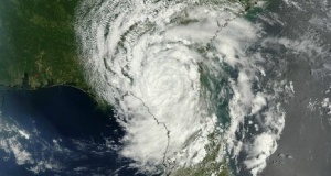
| This visible image of Tropical Depression Beryl was captured using the MODIS instrument on NASA's Terra satellite on May 28, 2012 at 12:05 p.m. EDT when it was centered over northern Florida. Credit: NASA MODIS Rapid Response Team | |
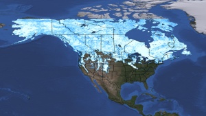
| Snow cover map for March 5, 2012. (Image credit: NASA/MODIS) |
Источники
Описание: http://www.nasa.gov/mission_pages/terra/index.html
Изображения: http://www.nasa.gov/mission_pages/hurricanes/missions/hs3/news/hs3.html, http://www.nasa.gov/topics/earth/features/2012-snow.html, http://www.jpl.nasa.gov/missions/details.php?id=5856


